Participants
‹ Back
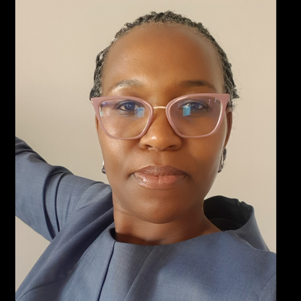
MS Bulelwa Semoli
Director Imagery and Topographic Data- Scientist , Agriculture, Land Reform and Rural Development
CV
Ms Bulelwa Semoli is the Director of Imagery and Topographic Data at the Department of Agriculture, Land Reform and Rural Development since 2013. Her current responsibility is to acquire national aerial Imagery, national land cover mapping, updating topographic data, maintenance of integrated Topographic Information system and archive.
Ms Semoli obtained two qualifications from the University of Fort Hare, a Bachelor of Science Honours in Applied Remote Sensing & GIS and a Bachelor of Science in Geography & GIS. She also holds a Master of Environmental Management from the University of Stellenbosch obtained in 2007.
She has led and has been a member of various local, regional and international technical committees such as: the International Standard Organisation (ISO), working group on ISO1944-2 (Land cover Meta Language) since 2019 – present; Co-chair of the African Land Degradation Neutrality (2019- present); Member of the African Land Cover Technical Committee: responsible for SADC Region (2015 - present); Advisory Panel on research peer review for National Research Fund on the new Frontier Earth Observation (2021 – present); Committee member of the South African Committee on Spatial Information and Chairperson for the Standard Sub-committee (2014 – 2020); Executive member of the African Association of Remote Sensing of the Environment (2015 – 2018)
She believes that collective action and shared ownership for woman’s equality is what will make women empowerment impactful.